![An Australian Government Initiative [logo]](/images/austgovt_brown_90px.gif)

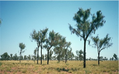 Casuarina woodland of Allocasuarina decaisneana, Canning Stock Route, WA |
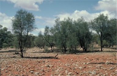 Casuarina woodland dominated by Casuarina pauper, Qld |
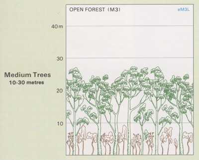
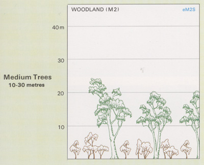
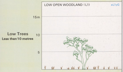
Casuarinas occur as Open Forests, Low Open Forests, Woodlands, Open Woodlands, Low Open Woodlands and Low Woodlands; Foliage cover of tallest stratum 30 - 70% |
Casuarina Forests and Woodlands
- Includes vegetation where dominant species
are Casuarina and Allocasuarina genera— collectively known as she-oaks.
- Form a series of quite distinct communities,
notably foredune (C. equisetifolia), swamp
(C. glauca), riverine (C. cunninghamiana)
and desert (C. cristata or A. decaisneana)
communities.
- Occur mainly on littoral and riverbank
sites along the south-eastern, eastern and
northern coasts of Australia and on rocky
sites throughout the continent.
- In other inland areas, she-oaks occur in association with acacias and eucalypts.
The Casuarina Forests and Woodlands have been extensively cleared in many coastal areas for agriculture or for industrial or urban developments. Areas in the arid zone are modified by grazing pressure from domestic stock, feral animals and macropods.
![]() Photos from the Australian Plant Image Index
Photos from the Australian Plant Image Index

Sources: Australia's Native Vegetation - from rainforest to spinifex, map and information poster produced by the National Land & Water Audit, Natural Heritage Trust, Australian Government, 2001
Australia's Native Vegetation - A summary of Australia's Major Vegetation Groups, 2007, Australian Government website
https://www.environment.gov.au/system/files/resources/a9897cf2-9d38-4201-bea2-13dadf3af9a8/files/major-veg-summary.pdf
Structure diagram: Atlas of Australian Resources - Vol. 6, Vegetation,
AUSLIG, Canberra, 1990